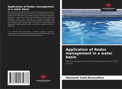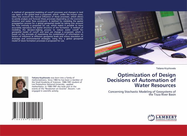
Optimization of Design Decisions of Automation of Water Resources
Concerning Stochastic Modeling of Geosystems of the Tisza River Basin
Versandkostenfrei!
Versandfertig in 6-10 Tagen
27,99 €
inkl. MwSt.

PAYBACK Punkte
14 °P sammeln!
A method of geospatial modeling of runoff processes and changes in land use types at the global level is proposed, which, unlike the known ones, takes into account the mutual influence of these processes, which allows to jointly analyze and forecast these processes depending on the economic situation and water flow constraints. A method for modeling the spatial propagation process for a global geospatial model by taking into account the flow intensity is proposed for use, which makes it possible to more accurately reproduce the spatial structure of the formation. A method of modeling the decis...
A method of geospatial modeling of runoff processes and changes in land use types at the global level is proposed, which, unlike the known ones, takes into account the mutual influence of these processes, which allows to jointly analyze and forecast these processes depending on the economic situation and water flow constraints. A method for modeling the spatial propagation process for a global geospatial model by taking into account the flow intensity is proposed for use, which makes it possible to more accurately reproduce the spatial structure of the formation. A method of modeling the decision-making process to reduce water runoff for geospatial model of runoff and land use change is proposed, which is based on the principle of maximizing the combination of information on factors of influence at different geospatial levels and allows simulation of drainage and environmental strategies. Using this, a global geospatial model of stock formation processes is proposed for use.


