Pacheco Pass
Versandkostenfrei!
Versandfertig in 6-10 Tagen
23,99 €
inkl. MwSt.

PAYBACK Punkte
12 °P sammeln!
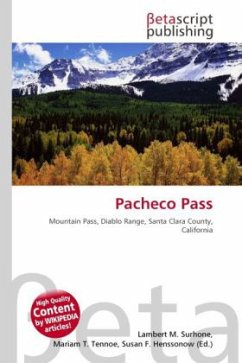
High Quality Content by WIKIPEDIA articles!Pacheco Pass, elevation 1,300 ft (400 m), is a mountain pass located in the Diablo Range in southeastern Santa Clara County, California. It is the main road over the hills separating the Santa Clara Valley and the Central Valley. As with most passes in the California Coast Ranges, it is not very high. The road that traverses Pacheco Pass is State Route 152, which runs for 106 miles (171 km) between California State Route 1 in Watsonville and U.S. Route 99. Pacheco Pass Road, the western section between Gilroy and the pass itself (a distance of approxi...
High Quality Content by WIKIPEDIA articles!Pacheco Pass, elevation 1,300 ft (400 m), is a mountain pass located in the Diablo Range in southeastern Santa Clara County, California. It is the main road over the hills separating the Santa Clara Valley and the Central Valley. As with most passes in the California Coast Ranges, it is not very high. The road that traverses Pacheco Pass is State Route 152, which runs for 106 miles (171 km) between California State Route 1 in Watsonville and U.S. Route 99. Pacheco Pass Road, the western section between Gilroy and the pass itself (a distance of approximately 14 miles), is single-lane state highway in each direction and is the site of many accidents. Congestion over Pacheco Pass often forces traffic to take the longer route via the Altamont Pass.


