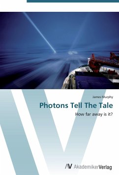
Revision with unchanged content. It is doubtful that any commercial enterprise today has not benefitted greatly from advances in technology, most of which are based on electronics. The ancient art of determining and locating land boundaries has always relied on precise measurement of the vectors which define the perimeter. The purpose of this book is to document the development of an accurate, affordable, reliable machine to perform the relatively long distance measurements routinely made by land surveyors. In 1951, Erik Bergstrand culminated thirteen years of research by bringing an electronic distance meter which measured distances based on the speed of light to the market. Research efforts in applied electronics and wave propagation led to the maser, which allowed Harry Baumann and T. L. Wadley to develop and market a device using the microwave spectrum to measure. Advances in transistors and integrated circuit technology introduced the simplification and miniaturization to electronic distance measuring that would transform the once novel instrument into a commodity product.
Bitte wählen Sie Ihr Anliegen aus.
Rechnungen
Retourenschein anfordern
Bestellstatus
Storno


