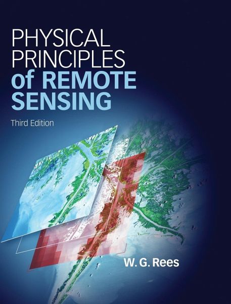
Physical Principles of Remote Sensing. by Gareth. Rees
Versandkostenfrei!
Versandfertig in 1-2 Wochen
197,99 €
inkl. MwSt.
Weitere Ausgaben:

PAYBACK Punkte
99 °P sammeln!
Fully updated and containing significant new material on photography, laser profiling and image processing, the third edition of this popular textbook covers a broad range of remote sensing applications and techniques across the Earth, environmental and planetary sciences. It focuses on physical principles, giving students a deeper understanding of remote sensing systems and their possibilities, while remaining accessible to those with less mathematical training by providing a step-by-step approach to quantitative topics. Boxed examples, additional photos and numerous colour images engage stud...
Fully updated and containing significant new material on photography, laser profiling and image processing, the third edition of this popular textbook covers a broad range of remote sensing applications and techniques across the Earth, environmental and planetary sciences. It focuses on physical principles, giving students a deeper understanding of remote sensing systems and their possibilities, while remaining accessible to those with less mathematical training by providing a step-by-step approach to quantitative topics. Boxed examples, additional photos and numerous colour images engage students and show them how the theory relates to the many real-world applications. Chapter summaries, review questions and additional problems allow students to check their understanding of key concepts and practise handling real data for themselves. Supplementary online material includes links to freely available software, animations, computer programs, colour images and other web-based resources of interest.


