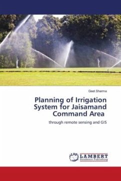
Planning of Irrigation System for Jaisamand Command Area
through remote sensing and GIS
Versandkostenfrei!
Versandfertig in 6-10 Tagen
29,99 €
inkl. MwSt.

PAYBACK Punkte
15 °P sammeln!
Water management and planning of irrigation system require serious attention to be paid to increase net irrigation area and better utilization of water available in that area. There is need to drive an optimal cropping pattern and irrigation system to use each and every crop of water efficiently under the limitation of various resources input. For planning of these systems one will require various information of area selected like location, topography, soils, land use, agriculture practices, other water resources etc. For this purpose RS and GIS are used with great advantage, in less time and ...
Water management and planning of irrigation system require serious attention to be paid to increase net irrigation area and better utilization of water available in that area. There is need to drive an optimal cropping pattern and irrigation system to use each and every crop of water efficiently under the limitation of various resources input. For planning of these systems one will require various information of area selected like location, topography, soils, land use, agriculture practices, other water resources etc. For this purpose RS and GIS are used with great advantage, in less time and cost. By using various RS and GIS software one can collect data required of the site and can utilize it for planning of irrigation or watershed development planning.


