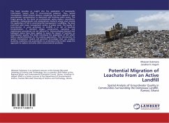
This book provides an insight into the application of Geographic Information System (GIS) in environmental pollution. Thus, spatial interpolation model (inverse distance weighting) has been applied to map groundwater contamination to determine safe drinking water zones. The target groups for the book are professionals, policy makers, consultants, academics, undergraduate and postgraduate students whose work involve the application of GIS in environmental management. Landfilling, the least preferred solid waste management option is widely used. The quality of groundwater in areas proximate to landfills is at risk of leachate contamination, if standard design, construction, operation and maintenance procedures are not adhered to. Various physico-chemical and biological means have been applied to assess the impact of leachate on groundwater quality. This book introduces the application of GIS which adds a spatial dimension to the existing approaches. The introduction to spatial interpolation models will generate knowledge that can position students, academics and practitioners to understand and further apply the approach to explore and solve other environmental problems.
Bitte wählen Sie Ihr Anliegen aus.
Rechnungen
Retourenschein anfordern
Bestellstatus
Storno

