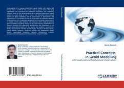
Computation of a precise gravimetric geoid model with sparse and limited data is a difficult task, which needs a special notice. This book investigates the procedure for gathering,evaluating and combining different data for the determination of an optimum gravimetric geoid model as a case study in Iran. It covers the theoretical and practical aspects of geoid modelling and its applications in geosciences and engineering. It is intended to serve as a text book for graduate students in geosciences such as geodesy, geophysics and surveying engineering. It is consists of the basic theories and materials which need for precise geoid modelling including theory of the Least-Squares Modification of Stokes s formula (KTH approach), qualification and refinement of the gravity data,determination of the gravity and gradient components, Global Geopotential Models (GGM),Digital Elevation Models (DEM), lateral density variation, corrective surface and engineering height datum, quasi-geoid modeling, variance components analysis, geodynamical and geophysical interpretations of geoid models.
Bitte wählen Sie Ihr Anliegen aus.
Rechnungen
Retourenschein anfordern
Bestellstatus
Storno

