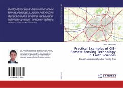
The mapping was started from an ancient era and even now it is developing rapidly which deals with spatial information like the "Where" question. From the Neanderthal to the Human, all were asking same questions like "Where is my cave!? or "Where is the starting point?". These sorts of questions show that how much the mapping and the locations are important and can be helpful. René Descartés invented 2D coordinate system and then mapping of the world and some phenomena (e.g. earthquakes) were much easier. Now Geospatial Information System is a sophisticated type of 2D coordinates. This book presents multi-disciplinary examples among GIS, seismology and earthquake engineering by emphasizes on remote sensing and coordinates.
Bitte wählen Sie Ihr Anliegen aus.
Rechnungen
Retourenschein anfordern
Bestellstatus
Storno

