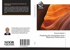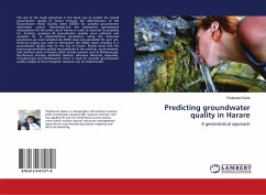
Predicting groundwater quality in Harare
A geostatistical approach
Versandkostenfrei!
Versandfertig in 6-10 Tagen
27,99 €
inkl. MwSt.

PAYBACK Punkte
14 °P sammeln!
The aim of the study presented in this book was to predict the overall groundwater quality of Harare through the determination of the Groundwater Water Quality Index (GWQI) for sampled groundwater abstraction points (boreholes) and the subsequent geostatistical interpolation for the entire city of Harare in order to ascertain its suitability for drinking purposes. 44 groundwater samples were collected and analyzed for 12 physiochemical parameters. Using the measured parameters per each sampled site GWQI value was calculated for each site. Ordinary kriging was used to interpolate the GWQI value...
The aim of the study presented in this book was to predict the overall groundwater quality of Harare through the determination of the Groundwater Water Quality Index (GWQI) for sampled groundwater abstraction points (boreholes) and the subsequent geostatistical interpolation for the entire city of Harare in order to ascertain its suitability for drinking purposes. 44 groundwater samples were collected and analyzed for 12 physiochemical parameters. Using the measured parameters per each sampled site GWQI value was calculated for each site. Ordinary kriging was used to interpolate the GWQI values resulting in a groundwater quality map for the city of Harare. Results show that the poorest groundwater quality was predicted in the westerly, south-westerly, and northern parts of Harare which include suburbs such as Marlborough, Northwood, Avonlea, Ashbrittle, Budiriro, Glenview, Glenorah, Aspindale, Crowborough and Kambuzuma. There is need for periodic groundwater quality analysis so that mitigation measures can be implemented.


