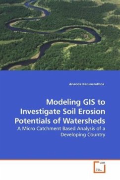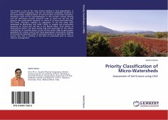
Priority Classification of Micro-Watersheds
Assessment of Soil Erosion using USLE
Versandkostenfrei!
Versandfertig in 6-10 Tagen
45,99 €
inkl. MwSt.

PAYBACK Punkte
23 °P sammeln!
Soil erosion is one of the main factors leading to land degradation. It results in nutrient depletion and low soil moisture availability resulting in low productivity. Implementation of soil and water conservation measures, therefore, need not be overemphasized. In this context, remote Sensing and GIS techniques provide powerful tools to assess the soil loss and propose the conservation measures to control it at micro-watershed level. This book, therefore, explains an assessment of soil loss using USLE developed by Wischmeier and Smith (1978); to suggest soil conservation measures to control t...
Soil erosion is one of the main factors leading to land degradation. It results in nutrient depletion and low soil moisture availability resulting in low productivity. Implementation of soil and water conservation measures, therefore, need not be overemphasized. In this context, remote Sensing and GIS techniques provide powerful tools to assess the soil loss and propose the conservation measures to control it at micro-watershed level. This book, therefore, explains an assessment of soil loss using USLE developed by Wischmeier and Smith (1978); to suggest soil conservation measures to control the soil loss in the Bhama basin, Pune district of Maharashtra (India). This book should help shed some light on the relative contribution of causative factors to the soil loss which helps to give proper guidelines for erosion control and frame appropriate conservation strategy and should be especially useful to extension workers in Agriculture fields or anyone else who is working in the field of watershed and/ or natural resource management.


