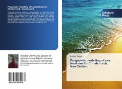
Prognostic modelling provides an efficient means to analyse the coastal environment and provide effective knowledge for long term urban planning. This research outlines how the use of SWAN and XBeach numerical models within the ESRI ArcGIS interface can simulate geomorphological evolution through hydrodynamic forcing for the Greater Christchurch coastal environment. This research followed the data integration techniques of Silva and Taborda (2012) and utilises their beach morphological modelling tool, the BeachMM tool.
Bitte wählen Sie Ihr Anliegen aus.
Rechnungen
Retourenschein anfordern
Bestellstatus
Storno

