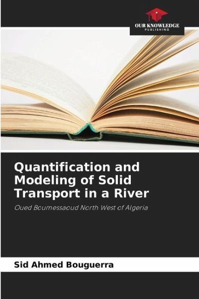
Quantification and Modeling of Solid Transport in a River
Oued Boumessaoud North West of Algeria
Versandkostenfrei!
Versandfertig in 6-10 Tagen
37,99 €
inkl. MwSt.

PAYBACK Punkte
19 °P sammeln!
In a concern of preservation of the water resource already scarce at the beginning of this century and to better understand the problem of water erosion and the processes that generate this phenomenon, we are interested in the sub-catchment area (118 km2 ) Wadi Boumessaoud (North West Algeria). Our work will focus first of all on a physico-geographical diagnosis of the study area, a preliminary presentation of all the geomorphological, geological, hydrological and climatic parameters of the sub-catchment is essential. A bibliographical synthesis on the genesis of the transported sediments in s...
In a concern of preservation of the water resource already scarce at the beginning of this century and to better understand the problem of water erosion and the processes that generate this phenomenon, we are interested in the sub-catchment area (118 km2 ) Wadi Boumessaoud (North West Algeria). Our work will focus first of all on a physico-geographical diagnosis of the study area, a preliminary presentation of all the geomorphological, geological, hydrological and climatic parameters of the sub-catchment is essential. A bibliographical synthesis on the genesis of the transported sediments in suspension, the mechanisms and dominant processes which govern this erosive dynamics as well on the slopes as within the hydrographic network will be approached. The detailed analysis of instantaneous series of liquid (QL) and solid (Qs) flows between September 1988 and August 2004 at different temporal scales has allowed the selection of a power model (Qs=aQLb). This model will specify the interrelationship between the various hydrological parameters and will allow us to understand the explanatory factors of the water erosion processes in this semi-arid zone of Algeria.


