26,99 €
inkl. MwSt.
Versandkostenfrei*
Versandfertig in 6-10 Tagen
  • Broschiertes Buch

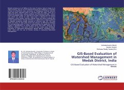
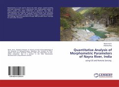
Morphometry is a tool used to deduce the relief, pattern, spatial variability and basin evaluation. It is a measurement and mathematical analysis of Earth's surface and shape dimensions of landforms. This helps in understanding river evolution and to study its influences on life and land. GIS techniques are used for assessing various terrain and watershed assessment and provides a flexible tool for analysis of spatial information. The drainage map thus generated through DEM provides linear coverage for each order of stream.

Produktbeschreibung
Morphometry is a tool used to deduce the relief, pattern, spatial variability and basin evaluation. It is a measurement and mathematical analysis of Earth's surface and shape dimensions of landforms. This helps in understanding river evolution and to study its influences on life and land. GIS techniques are used for assessing various terrain and watershed assessment and provides a flexible tool for analysis of spatial information. The drainage map thus generated through DEM provides linear coverage for each order of stream.
Autorenporträt
Resmi. M.R., Assistant Professor of School of Earth Sciences(Geology) at the University of Vidhyapith,Jaipur, Rajasthan. She received her Ph.D. degree from Anna University, Chennai under the supervision of Prof. Hema Achyuthan. She is a pioneer in the field Paleoclimatic Reconstruction using different archives.