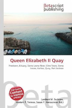
Please note that the content of this book primarily consists of articles available from Wikipedia or other free sources online. Queen Elizabeth II Quay, also known as QE II Quay and by residents as the Deep Water Quay, is a locality in Freetown, Sierra Leone. It is located on a promontory called Fourah Point (also known as Farran Point, Farren Point, and Foura Point) on the southern bank of the estuary of the Sierra Leone River between Destruction Bay and Cline Bay within the suburb of Cline Town directly to the east of central Freetown. It is the larger of two harbors within Freetown, the other harbor known variously as Government Wharf, Freetown Port, or simply "the harbor" and is Freetown''s more centrally located harbor. Construction of the Quay began in 1953 on what was once called Fourah Bay and took more than six years to complete. The entire bay was eventually filled in, creating a large uninhabited reclamation area to the south of the quay. The final structure is 1,067 meters end to end with a draught allowance of 30 feet. The Sierra Leone Railway used to have a large terminal and headquarters nearby but these were removed in the 1970s.

