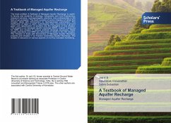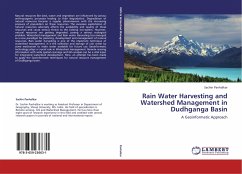
Rain Water Harvesting and Watershed Management in Dudhganga Basin
A Geoinformatic Approach
Versandkostenfrei!
Versandfertig in 6-10 Tagen
39,99 €
inkl. MwSt.

PAYBACK Punkte
20 °P sammeln!
Natural resources like land, water and vegetation are influenced by various anthropogenic processes leading to their degradation. Degradation of natural resources became a regular phenomenon with the increasing pressure of population on these resources. The excessive exploitation of natural resources adversely affects the availability and quality of these resources and cause serious threat to the existing eco-system. However, natural resources are getting degraded, posing a serious ecological problem. Watershed management and Rain water Harvesting has emerged as a new paradigm for planning, de...
Natural resources like land, water and vegetation are influenced by various anthropogenic processes leading to their degradation. Degradation of natural resources became a regular phenomenon with the increasing pressure of population on these resources. The excessive exploitation of natural resources adversely affects the availability and quality of these resources and cause serious threat to the existing eco-system. However, natural resources are getting degraded, posing a serious ecological problem. Watershed management and Rain water Harvesting has emerged as a new paradigm for planning, development and management of natural resources. Rain water harvesting is one of the important technique of watershed management. It is the collection and storage of rain water by some mechanism to make water available for future use. Geoinformatic technology plays a crucial role in Watershed management. Remote sensing information with wide spatial coverage and GIS analysis can be a vital input for integrated watershed development. Here, an attempt has been made to apply the Geoinformatic techniques for natural resource management of Dudhganga basin.


