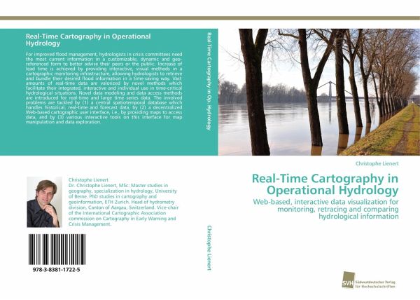
Real-Time Cartography in Operational Hydrology
Web-based, interactive data visualization for monitoring, retracing and comparing hydrological information
Versandkostenfrei!
Versandfertig in 6-10 Tagen
53,99 €
inkl. MwSt.

PAYBACK Punkte
27 °P sammeln!
For improved flood management, hydrologists in crisis committees need the most current information in a customizable, dynamic and geo-referenced form to better advise their peers or the public. Increase of lead time is achieved by providing interactive, visual methods in a cartographic monitoring infrastructure, allowing hydrologists to retrieve and bundle their desired flood information in a time-saving way. Vast amounts of real-time data are valorized by novel methods which facilitate their integrated, interactive and individual use in time-critical hydrological situations. Novel data modeli...
For improved flood management, hydrologists in crisis committees need the most current information in a customizable, dynamic and geo-referenced form to better advise their peers or the public. Increase of lead time is achieved by providing interactive, visual methods in a cartographic monitoring infrastructure, allowing hydrologists to retrieve and bundle their desired flood information in a time-saving way. Vast amounts of real-time data are valorized by novel methods which facilitate their integrated, interactive and individual use in time-critical hydrological situations. Novel data modeling and data access methods are introduced for real-time and large time series data. The involved problems are tackled by (1) a central spatiotemporal database which handles historical, real-time and forecast data, by (2) a decentralized Web-based cartographic user interface, i.e., by providing maps to access data, and by (3) various interactive tools on this interface for map manipulation and data exploration.


