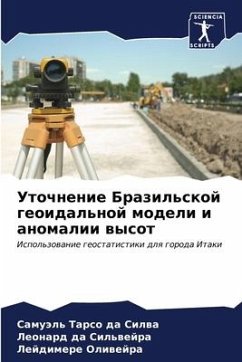
Refinement of the Brazilian Geoidal Model and the height anomaly
Using Geostatistics for the city of Itaqui
Versandkostenfrei!
Versandfertig in 6-10 Tagen
27,99 €
inkl. MwSt.

PAYBACK Punkte
14 °P sammeln!
In order to implement civil works such as hydraulic projects, underground projects and any other project that requires knowledge of the local slope, there is a need for precise knowledge of the normal altitude, which must be known and referenced to the Brazilian Geodetic System (SGB). This can be determined by the absolute method using Global Navigation Satellite System (GNSS) signals or by the relative method using geometric levelling. Geometric levelling helps to describe the behaviour of the orthometric altitude (H), which takes into account the acceleration of gravity, so it is possible to...
In order to implement civil works such as hydraulic projects, underground projects and any other project that requires knowledge of the local slope, there is a need for precise knowledge of the normal altitude, which must be known and referenced to the Brazilian Geodetic System (SGB). This can be determined by the absolute method using Global Navigation Satellite System (GNSS) signals or by the relative method using geometric levelling. Geometric levelling helps to describe the behaviour of the orthometric altitude (H), which takes into account the acceleration of gravity, so it is possible to know the direction of flow characterised by the displacement of water in a given stretch according to the slope of the terrain, which is determined by the difference in level between two points. Refining the geoidal model and creating an anomaly model makes it possible to improve the quality of the values for direct application in converting ellipsoidal altitudes (h) into normal and orthometric altitudes. Techniques inherent to geometric geodesy were used to refine the models using geostatistics.


