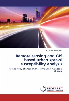
Remote sensing and GIS based urban sprawl susceptibility analysis
A case study of Shashamane Town, West Arsi Zone, Ethiopia
Versandkostenfrei!
Versandfertig in 6-10 Tagen
32,99 €
inkl. MwSt.

PAYBACK Punkte
16 °P sammeln!
Nowadays, the rapid population growth in urban areas has resulted in uncontrolled haphazard growth in the fringes of urban areas without the knowledge and consent of both concerned cities' and bordering rural administrative bodies affecting agro-rural set up in the outskirts and threatening the livelihood of inhabitants in the vicinity. The phenomenon has further been precipitating amorphous suburban centers and an unauthorized growth of the cities often called urban sprawl. The advent of geospatial tools has great potential to long term monitoring and assessment of urban growth and its associ...
Nowadays, the rapid population growth in urban areas has resulted in uncontrolled haphazard growth in the fringes of urban areas without the knowledge and consent of both concerned cities' and bordering rural administrative bodies affecting agro-rural set up in the outskirts and threatening the livelihood of inhabitants in the vicinity. The phenomenon has further been precipitating amorphous suburban centers and an unauthorized growth of the cities often called urban sprawl. The advent of geospatial tools has great potential to long term monitoring and assessment of urban growth and its associated problems in surrounding land cover. On this background,this book is focused on the techniques of Remote Sensing and Geographic Information Systems (GIS) to monitor and measure urban sprawl. The book, therefore, will be welcomed by environmentalists, regional (urban) planners,decision makers and academicians interested in the potential of geospatial tools for monitoring and planning urban environment emphasizing smooth urban-rural relationship in developing nation's context.


