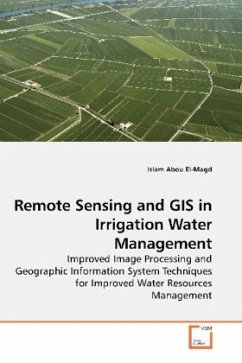
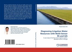
Irrigation is the largest consumer of water resources for securing food. Unless the irrigation water managed properly we will be under the threat of water shortage. Conventional approaches show limitations and therefore new approaches such as remote sensing are required. Recently scientists and researchers have shown incredible interest in using earth observation satellites to better understand the interaction between the atmosphere and earth surface and consequently better manage the water resources. Remotely sensed data could offer a real-time source of information about the earth surface features. The wide range of spectral channels of the satellite sensors including the visible light, infrared and thermal infrared has inspired researcher to develop an environmental physics models to estimate the crop evapotranspiration. This book discuss the real-time estimation of the crop types, areas and crop water demand from remotely sensed data and interface the results in a geographical information system to better allocate the crop water demand.
Bitte wählen Sie Ihr Anliegen aus.
Rechnungen
Retourenschein anfordern
Bestellstatus
Storno

