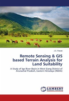
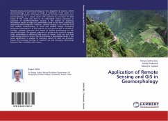
This is an age of rapidly growing global population, industrialization and technological advancement. This has led to a large number of problems of different nature and scale. Issues of sustainable development, pollution prevention, global environmental change and related issues of population-environment interaction are a major concern of the global scientific community as well as to common citizens and policy makers. In this situation the geo-spatial tool i.e. integration of remote sensing (RS) and Geographic Information Systems (GIS) has been widely applied and recognized as a powerful and effective tools for handling such issues and challenges. These technologies provide a flexible environment for collecting, entering, analyzing, and displaying spatial data for various urban environmental issues. This book tries to focus on some of these issues which are of utmost importance e.g. urban sprawl, land use/land cover change, vegetation assessment, surface water bodies, ground water pollution, air and noise pollution, surface rainfall runoff etc. And what are the different satellite data sets and GIS methods that can be applied in handling these issues.
Bitte wählen Sie Ihr Anliegen aus.
Rechnungen
Retourenschein anfordern
Bestellstatus
Storno

