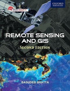
Title on CD-ROM: Geomatica 10.3. to accompany Remote sensing and GIS.
Remote Sensing and GIS 2e is a comprehensive textbook specially designed to meet the requirements of undergraduate courses in civil, geoinformatics/geomatics, geotechnical, survey, and environmental engineering. It will equally meet the requirements of undergraduate courses in geological science, environmental science, earth sciences, geography, geophysics, earth resources management, environmental management, and disaster management.
Hinweis: Dieser Artikel kann nur an eine deutsche Lieferadresse ausgeliefert werden.

