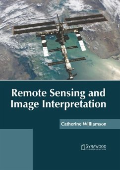
Remote sensing is a type of geospatial technology that is used to acquire information about an object or phenomenon without making any physical contact. Some major advantages of remote sensing include observation and monitoring of surface area and objects, and collecting information over large spatial areas. It is used to characterize physical objects or natural features on the ground. Data collected through remote sensing is used with other available data, which helps to facilitate decision-making. Remote sensing imagery must be interpreted in order to derive meaningful information. Image interpretation involves identifying and measuring various targets (features or objects) in an image. Before image analysis, the images can also be processed digitally. The results of image interpretation can be used for various applications such as classifying and categorizing vegetation and water management. This book unravels the recent studies on remote sensing and image interpretation. It will serve as a valuable source of reference for graduate and postgraduate students.
Hinweis: Dieser Artikel kann nur an eine deutsche Lieferadresse ausgeliefert werden.
Hinweis: Dieser Artikel kann nur an eine deutsche Lieferadresse ausgeliefert werden.

