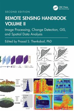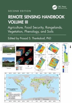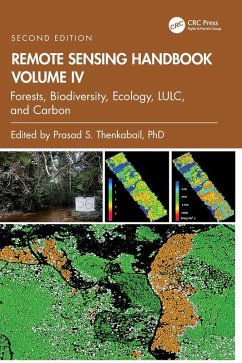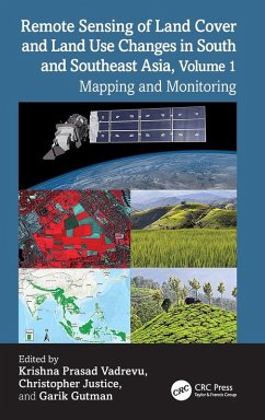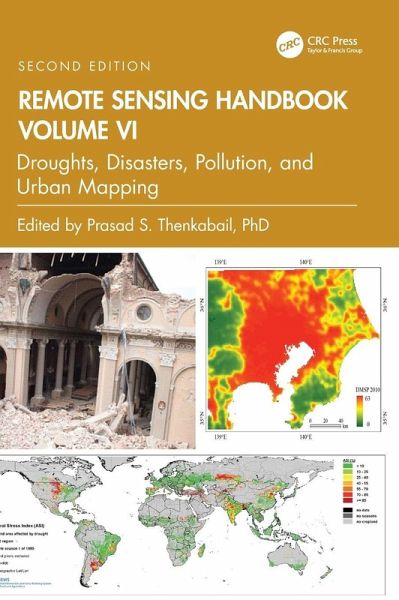
Volume VI of the Remote Sensing Handbook, Second Edition, is focused on the use of remote sensing in the assessment and monitoring of droughts, dry lands, biomass burning, natural disasters, and urban studies and nightlights. This book is an essential resource for researchers at all levels interested in using remote sensing.
Volume VI of the Remote Sensing Handbook, Second Edition, is focused on the use of remote sensing in the assessment and monitoring of droughts, dry lands, biomass burning, natural disasters, and urban studies and nightlights. This book is an essential resource for researchers at all levels interested in using remote sensing.Hinweis: Dieser Artikel kann nur an eine deutsche Lieferadresse ausgeliefert werden.
Dr. Prasad S. Thenkabail, Senior Scientist (ST), United States Geological Survey (USGS), is a world-recognized expert in remote sensing science with major contributions in the field for nearly 40 years. He has made the list of the world's top 1% of scientists across 22 scientific fields and 176 sub-fields. Dr. Thenkabail has conducted pioneering research in hyperspectral remote sensing of vegetation, global croplands, and their water use for food security. He obtained his PhD from the Ohio State University in 1992 and has 168 peer-reviewed publications including 15 books, including this six-volume set, and over 15 major data releases such as the Landsat-derived global cropland extent product @ 30m and Landsat-derived rainfed and irrigated cropland area product @ 30 m (LGRIP30). He was recognized as a Fellow of the American Society of Photogrammetry and Remote Sensing (ASPRS) in 2023. His scientific papers have won several awards for demonstrating world-class, highest-quality research. He was a Landsat Science Team Member (2007-2011).
Inhaltsangabe
Part I: Droughts and Drylands. 1. Drought Monitoring Using Vegetation Health Indices. 2. Studies using Space-derived Vegetation and Biophysical Products: A Global Perspective. 3. Remote Sensing of Drought: Satellite-Based Monitoring Tools for the United States. 4. Regional Drought Monitoring Based on Multi-Sensor Remote Sensing. 5. Land Degradation Assessment and Monitoring of Drylands. Part II: Disasters. 6. Disasters: Risk Assessment, Management and Post-Disaster Studies Using Remote Sensing. 7. Humanitarian Emergencies: Causes, Traits and Impacts as Observed by Remote Sensing. Part III: Volcanoes. 8. Remote Sensing of Volcanoes. Part IV: Fires. 9. Satellite-derived Nitrogen Dioxide Variations from Biomass Burning in a Subtropical Evergreen Forest, Northeast India. 10. Remote Sensing-Based Mapping and Monitoring of Coal Fires. Part V: Urban. 11. Urban Growth and Climatic Mapping of Mega Cities: Multi-Sensor Approach. 12. High-Resolution Remote Sensing and Visibility Analysis Method for Smart Environment Design. Part VI: Nightlights. 13. Nighttime Light Remote Sensing -- Monitoring Human Societies from Outer Space. Part VII: Summary and Synthesis for Volume VI. 14. Remote Sensing Handbook, Volume VI: Droughts, Disasters, Pollution, and Urban Mapping.
Es gelten unsere Allgemeinen Geschäftsbedingungen: www.buecher.de/agb
Impressum
www.buecher.de ist ein Internetauftritt der buecher.de internetstores GmbH
Geschäftsführung: Monica Sawhney | Roland Kölbl | Günter Hilger
Sitz der Gesellschaft: Batheyer Straße 115 - 117, 58099 Hagen
Postanschrift: Bürgermeister-Wegele-Str. 12, 86167 Augsburg
Amtsgericht Hagen HRB 13257
Steuernummer: 321/5800/1497
USt-IdNr: DE450055826