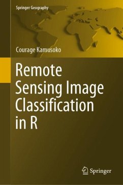
This book offers an introduction to remotely sensed image processing and classification in R using machine learning algorithms. It also provides a concise and practical reference tutorial, which equips readers to immediately start using the software platform and R packages for image processing and classification.
This book is divided into five chapters. Chapter 1 introduces remote sensing digital image processing in R, while chapter 2 covers pre-processing. Chapter 3 focuses on image transformation, and chapter 4 addresses image classification. Lastly, chapter 5 deals with improving image classification.
R is advantageous in that it is open source software, available free of charge and includes several useful features that are not available in commercial software packages. This book benefits all undergraduate and graduate students, researchers, university teachers and other remote- sensing practitioners interested in the practical implementation of remote sensing inR.
"The book provides a hands-on approach to remotely sensed image classification, covering not only classification techniques but also some of the required prior/posterior steps, for example, data preparation, feature extraction, dataset analysis, model tuning, and performance assessment. The book is like a tutorial, with sample code provided throughout the different chapters to offer the reader a practical perspective with R. ... This short book remains the first one to address remote sensing image classification in R." (Sebastien Lefevre,Computing Reviews, July 12, 2021)

