177,99 €
inkl. MwSt.
Versandkostenfrei*
Versandfertig in über 4 Wochen
  • Gebundenes Buch

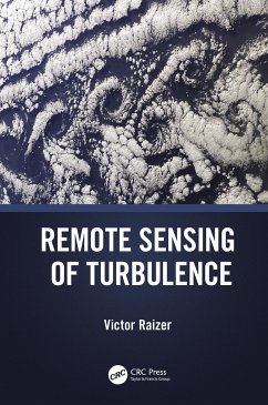
Comprises a broad overview of quantum theory for understanding automatic detection of air turbulence with remote sensing data. Quantum theory explains the electromagnetic wave ranges of varieties of remote sensing satellite data from short wavelength to long wavelength.

Produktbeschreibung
Comprises a broad overview of quantum theory for understanding automatic detection of air turbulence with remote sensing data. Quantum theory explains the electromagnetic wave ranges of varieties of remote sensing satellite data from short wavelength to long wavelength.
Autorenporträt
Distinguished Professor Dr. Maged Marghany, the visionary behind the innovative theory titled "Quantized Marghany's Front," is the Director at Safanad Information Technology in Malaysia. Dr. Marghany has been listed among the top 2% of scientists for four consecutive years-2020, 2021, 2022, and 2023 by Stanford University. Furthermore, his profound impact is reflected in the recognition of two of his books, acknowledged among the best genetic algorithm books of all time. Dr. Marghany's ongoing commitment continues to shape the landscape of scientific thought and geoinformation expertise. Additionally, Dr. Maged Marghany achieved the remarkable distinction of being ranked first among oil spill scientists in a global list spanning the last 50 years, compiled by the prestigious Universidade Estadual de Feira de Santana in Brazil. He was also a prominent visiting professor at Syiah Kuala University in Indonesia. In previous roles, Dr. Marghany directed the Institute of Geospatial Applications at the University of Geomatica College. His educational journey includes a post-doctoral degree in radar remote sensing, a PhD in environmental remote sensing, and a Master of Science in physical oceanography. With over 250 papers and influential books like "Advanced Remote Sensing Technology for Tsunami Modeling and Forecasting," Dr. Marghany's significant contributions shape global perspectives in remote sensing, geospatial applications, and environmental science.