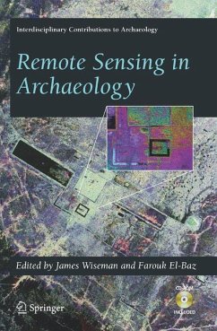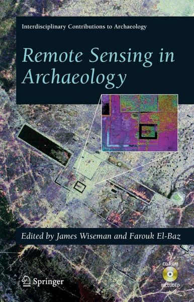
Archaeology has been transformed by technology that allows one to see below the surface of the earth. This work illustrates the uses of advanced technology in archaeological investigation. It deals with hand-held instruments that probe the subsurface of the earth to unveil layering and associated sites; underwater exploration and photography of submerged sites and artifacts; and the utilization of imaging from aircraft and spacecraft to reveal the regional setting of archaeological sites and to assist in cultural resource management.
James R. Wiseman, Boston University, Boston, MA, USA / Farouk El-Baz, Boston University, Boston, MA, USA
Inhaltsangabe
Foreword.- Acknowledgements .- Introduction.- Radar and Satellite Images.- Imaging Radar in Archaeological Investigations: An Image-Processing Perspective.- Radar Images and Geoarchaeology of the Eastern Sahara.- Southern Arabian Desert Trade Routes, Frankincense, Myrrh, and the Ubar Legend.- The Use of Interferometric Synthetic Aperture Radar (InSAR) in Archaeological Investigations and Cultural Heritage Preservation.- Detection and Identification of Archaeological Sites and Features Using Synthetic Aperture Radar (SAR) Data Collected from Airborne Platforms.- Putting Us on the Map: Remote Sensing Investigation of the Ancient Maya Landscape.- Creating and Perpetuating Social Memory across the Ancient Costa Rican Landscape.- Spaceborne and Airborne Radar at Angkor: Introducing New Technology to the Ancient Site.- Aerial Photography and Fractals.- Remote Sensing, Fractals, and Cultural Landscapes: An Ethnographic Prolegomenon Using U2 Imagery.- Geographic Information Systems.- Understanding Archaeological Landscapes: Steps Towards an Improved Integration of Survey Methods in the Reconstruction of Subsurface Sites in South Tuscany.- Remote Sensing and GIS Analysis of a Maya City and Its Landscape: Holmul, Guatemala.- Remote Sensing and GIS Use in the Archaeological Analysis of the Central Mesopotamian Plain.- Geophysical Prospecting and Analytical Presentations.- Ground-Penetrating Radar for Archaeological Mapping.- Integrating Multiple Geophysical Datasets.- Ground-Penetrating Radar Advances in Subsurface Imaging for Archaeology.- Landscape Archaeology and Remote Sensing of a Spanish-Conquest Town: Ciudad Vieja, El Salvador.- Urban Structure at Tiwanaku: Geophysical Investigations in the Andean Altiplano.- Geophysical Archaeology in the Lower Amazon: A Research Strategy.- Maritime Setting Applications.- Archaeological Oceanography.- Precision Navigation and Remote Sensing for Underwater Archaeology.- Cultural Resources and Heritage Management.- Applications of Remote Sensing to the Understanding and Management of Cultural-Heritage Sites
Es gelten unsere Allgemeinen Geschäftsbedingungen: www.buecher.de/agb
Impressum
www.buecher.de ist ein Internetauftritt der buecher.de internetstores GmbH
Geschäftsführung: Monica Sawhney | Roland Kölbl | Günter Hilger
Sitz der Gesellschaft: Batheyer Straße 115 - 117, 58099 Hagen
Postanschrift: Bürgermeister-Wegele-Str. 12, 86167 Augsburg
Amtsgericht Hagen HRB 13257
Steuernummer: 321/5800/1497
USt-IdNr: DE450055826