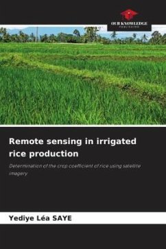
Mali is considered to be the breadbasket of West Africa, with a high potential for rice production. Watered by two major rivers, the Senegal and the Niger, Mali alone produces more than half of the rice produced in West Africa. However, given the strong increase in population, production remains insufficient to meet demand. Countries therefore resort to imports to ensure food security. Our study was carried out on the Baguineda irrigated perimeter, which is one of the perimeters available to Mali for agriculture in general and for rice cultivation in particular. Satellite images and climatic data of the region were downloaded, biometric data of rice were collected and vegetation indices were calculated to arrive at plot-specific Kc values. We then developed a linear regression model that allowed us to be certain of the correlation between the calculated Kc and the NDVI and SAVI vegetation indices. This allowed us to obtain coefficients of variation that allowed us to calculate the Kc and spatialize it.
Bitte wählen Sie Ihr Anliegen aus.
Rechnungen
Retourenschein anfordern
Bestellstatus
Storno

