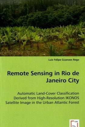
Remote Sensing in Rio de Janeiro City
Automatic Land-Cover Classification Derived from High-Resolution IKONOS Satellite Image in the Urban Atlantic Forest
Versandkostenfrei!
Versandfertig in 6-10 Tagen
45,99 €
inkl. MwSt.

PAYBACK Punkte
23 °P sammeln!
The city of Rio carried out a Land-cover forestclassification with visual interpretation using SPOT data. Thiswork produced a compatible thematic map in the scale 1:50,000. Thescale of these maps permit to have a global vision of the landchange cover but unfortunately do not correspond with the GIS ofthe city, which works with a scale of 1:10,000. The city searchedfor options to make this work automatically and quickly to getinformation for planning and to propose solutions. In order tosolve this problem high resolution satellite data and automaticclassification of Land-cover classes are neede...
The city of Rio carried out a Land-cover forestclassification with visual interpretation using SPOT data. Thiswork produced a compatible thematic map in the scale 1:50,000. Thescale of these maps permit to have a global vision of the landchange cover but unfortunately do not correspond with the GIS ofthe city, which works with a scale of 1:10,000. The city searchedfor options to make this work automatically and quickly to getinformation for planning and to propose solutions. In order tosolve this problem high resolution satellite data and automaticclassification of Land-cover classes are needed. Consequently,images as IKONOS need to be used to produce a classification, witha scale corresponding to the GIS of the city. Pixel basedclassification with IKONOS data show some problems because thelevel of information in the data produce a lot of incorrectclassified pixels. The solution to perform this classification usesthe new approach that makes one pre-classification, whichtransformsthe pixel information in objects as well as the featurein the vector representation. To carry out the segmentation andclassification processes, oriented objects analysis areused.


