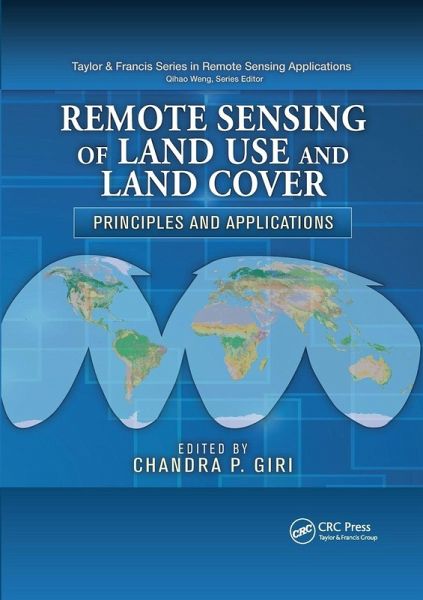
Remote Sensing of Land Use and Land Cover
Principles and Applications
Herausgeber: Giri, Chandra P
Remote Sensing of Land Use and Land Cover
Principles and Applications
Herausgeber: Giri, Chandra P
- Broschiertes Buch
- Merkliste
- Auf die Merkliste
- Bewerten Bewerten
- Teilen
- Produkt teilen
- Produkterinnerung
- Produkterinnerung
This book discusses the fundamentals of land-use and land-cover characterization, mapping, and monitoring using remote sensing technology. After covering the basic concepts and history, it presents state-of-the-art methods and techniques in data acquisition, preprocessing, classification, image interpretation, and accuracy assessment. It also in
Andere Kunden interessierten sich auch für
- C H ChenSignal and Image Processing for Remote Sensing113,99 €
- Remote Sensing of Coastal Environments109,99 €
- Nathalie PettorelliSatellite Remote Sensing and the Management of Natural Resources76,99 €
- Roger M McCoyField Methods in Remote Sensing40,99 €
- Gareth ReesThe Remote Sensing Data Book56,99 €
- Image Registration for Remote Sensing116,99 €
- Integration of Geographic Information Systems and Remote Sensing90,99 €
-
-
-
This book discusses the fundamentals of land-use and land-cover characterization, mapping, and monitoring using remote sensing technology. After covering the basic concepts and history, it presents state-of-the-art methods and techniques in data acquisition, preprocessing, classification, image interpretation, and accuracy assessment. It also in
Hinweis: Dieser Artikel kann nur an eine deutsche Lieferadresse ausgeliefert werden.
Produktdetails
- Produktdetails
- Verlag: Taylor & Francis Ltd (Sales)
- Seitenzahl: 480
- Erscheinungstermin: 30. September 2020
- Englisch
- Abmessung: 246mm x 174mm x 25mm
- Gewicht: 780g
- ISBN-13: 9780367864385
- ISBN-10: 036786438X
- Artikelnr.: 59982530
- Herstellerkennzeichnung
- Libri GmbH
- Europaallee 1
- 36244 Bad Hersfeld
- 06621 890
Chandra P. Giri, PhD, is a research physical scientist at the U.S. Geological Survey (USGS)/Earth Resources Observation and Science (EROS) Center, where he leads the International Land Cover and Biodiversity program. He is also a guest/adjunct faculty member at South Dakota State University. Prior to this, Dr. Giri worked for Columbia University in New York, United Nations Environment Programme (UNEP), Asian Institute of Technology, and the Forest Department of Nepal. He has experience working in the private sector, academia, government, and international organizations at national, continental, and global levels in different parts of the world. He also serves as an expert in national and international working groups. Dr. Giri has more than 50 scientific publications to his credit and has received several awards from USGS, NASA, and other organizations.
Overview: Brief Overview of Remote Sensing of Land Cover. History of Land
Cover Mapping. Basic Principles: Semantic Issues in Land
Cover Analysis: Representation, Analysis, and Visualization. Overview of Land
Cover Classifications and Their Interoperability. Revisiting Land
Cover Mapping Concepts. Evaluating Land
Cover Legends Using the UN Land
Cover Classification System. Long
Term Satellite Data Records for Land
Cover Monitoring. Preprocessing: Need for Sensor Calibration. Classification Trees and Mixed Pixel Training Data. Comparison between New Digital Image Classification Methods and Traditional Methods for Land
Cover Mapping. Land
Cover Change Detection. Supervised Classification Approaches for the Development of Land
Cover Time Series. Forest
Cover Change Detection Using Support Vector Machines. Global Land
Cover Map Validation Experiences: Toward the Characterization of Uncertainty. Role of Remote Sensing for Land
Use and Land
Cover Change Modeling. Application Examples: Operational Service Demonstration for Global Land
Cover Mapping: The GlobCover and GlobCorine Experiences for 2005 and 2009. Continental and Regional Approaches for Improving Land
Cover Maps of Africa. Land
Cover Mapping in Tropical Asia. Land Cover and Its Change in Europe: 1990
2006. North American Land
Change Monitoring System. The Application of Medium
Resolution MERIS Satellite Data for Continental Land
Cover Mapping over South America: Results and Caveats. Mapping Land
Cover and Land
Use Changes in China. An Approach to Assess Land
Cover Trends in the Conterminous United States (1973
2000). Is Africa Losing Its Natural Vegetation? Monitoring Trajectories of Land
Cover Change Using Landsat Imagery. Looking Ahead: The NASA Land
Cover and Land
Use Change Program: Research Agenda and Progress (2005
2011). Building Saliency, Legitimacy, and Credibility toward Operational Global and Regional Land
Cover Observations and As