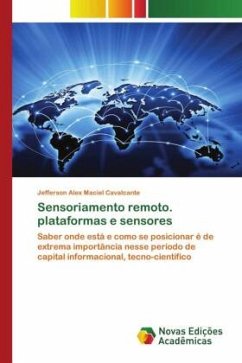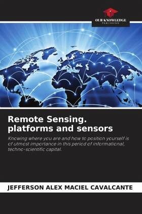
Remote Sensing. platforms and sensors
Knowing where you are and how to position yourself is of utmost importance in this period of informational, techno-scientific capital.
Versandkostenfrei!
Versandfertig in 6-10 Tagen
29,99 €
inkl. MwSt.

PAYBACK Punkte
15 °P sammeln!
Satellites, cameras, telescopes, and even our eyes are tools used to analyze objects at a distance. The study of objects at a distance is known as: remote sensing (RS) or remote sensing. SR is the way of studying the earth from instruments; such as: cameras and other sensors, from bodies in the air, in space, etc. It can be considered a science; because it applies concepts of: statistics, wave programming, computer science, and mathematics; with the purpose or objectives of interpreting and mapping the Earth's surface features. New possibilities have opened up in the application of data genera...
Satellites, cameras, telescopes, and even our eyes are tools used to analyze objects at a distance. The study of objects at a distance is known as: remote sensing (RS) or remote sensing. SR is the way of studying the earth from instruments; such as: cameras and other sensors, from bodies in the air, in space, etc. It can be considered a science; because it applies concepts of: statistics, wave programming, computer science, and mathematics; with the purpose or objectives of interpreting and mapping the Earth's surface features. New possibilities have opened up in the application of data generated from the SR techniques, creating alternatives for the development and application of other techniques, now called geoprocessing techniques or simply geotechnologies.


