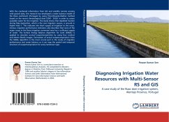
Remote sensing can assist in improving the estimation of the distribution of evapotranspiration. Consequently, it can help in a sustainable water resources management of large cultivated areas for irrigation purposes. This study uses the Mesonet/Modis-ET (M/M-ET) method where actual ET is derived from satellite energy balance combined with point measurements obtained from the Oklahoma Mesonet. The application of the M/M-ET method is evaluated for water flux measurements over irrigated and urban areas, and for estimation of lake evaporation.
Bitte wählen Sie Ihr Anliegen aus.
Rechnungen
Retourenschein anfordern
Bestellstatus
Storno

