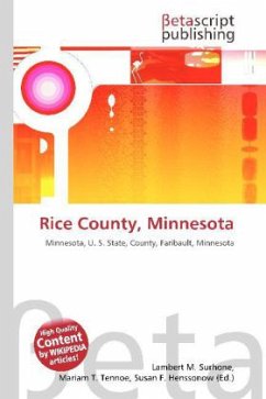
Rice County, Minnesota
Versandkostenfrei!
Versandfertig in 6-10 Tagen
23,99 €
inkl. MwSt.

PAYBACK Punkte
12 °P sammeln!
Please note that the content of this book primarily consists of articles available from Wikipedia or other free sources online. Rice County is a county located in the U.S. state of Minnesota. As of 2000, the population was 56,665. Its county seat is Faribault. According to the U.S. Census Bureau, the county has a total area of 516 square miles (1,337 km²), of which 498 square miles (1,289 km²) is land and 19 square miles (48 km²) (3.60%) is water. The Cannon River flows northeastwardly through the county, collecting the Straight River in Faribault. The North Fork of the Zumbro River has its...
Please note that the content of this book primarily consists of articles available from Wikipedia or other free sources online. Rice County is a county located in the U.S. state of Minnesota. As of 2000, the population was 56,665. Its county seat is Faribault. According to the U.S. Census Bureau, the county has a total area of 516 square miles (1,337 km²), of which 498 square miles (1,289 km²) is land and 19 square miles (48 km²) (3.60%) is water. The Cannon River flows northeastwardly through the county, collecting the Straight River in Faribault. The North Fork of the Zumbro River has its headwaters in the southeastern part of the county. Faribault (pronounced / f rbo / FAIR-boh) is a city in Rice County, Minnesota, United States. The population was 20,818 at the 2000 census, and currently has a population of 25,000 to 30,000 people. It is the county seat of Rice County. Faribault is approximately 50 miles (80 km) south of Minneapolis and St. Paul. Interstate 35 and Minnesota State Highways 3, 21, and 60 are four of the main routes in the community. Faribault is situated at the confluence of the Cannon and Straight Rivers in southern Minnesota.


