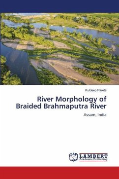
River Morphology of Braided Brahmaputra River
Assam, India
Versandkostenfrei!
Versandfertig in 6-10 Tagen
71,99 €
inkl. MwSt.

PAYBACK Punkte
36 °P sammeln!
The main purpose of this book is to present the detail remote sensing and GIS applications for analysis of river morphology of a braided river. An innovative study on hydromorphogeobathymetry of a pilot area "Dibru-Saikhowa National Park" is introduced too. Detailed information of Brahmaputra valley along with demographic profile is described. A brief description of remote sensing and GIS based land use land cover classification, drainage system, slope mapping, soil mapping, geological mapping geomorphology mapping, snow cover mapping, and flood mapping is presented. The comprehensive work of ...
The main purpose of this book is to present the detail remote sensing and GIS applications for analysis of river morphology of a braided river. An innovative study on hydromorphogeobathymetry of a pilot area "Dibru-Saikhowa National Park" is introduced too. Detailed information of Brahmaputra valley along with demographic profile is described. A brief description of remote sensing and GIS based land use land cover classification, drainage system, slope mapping, soil mapping, geological mapping geomorphology mapping, snow cover mapping, and flood mapping is presented. The comprehensive work of temporal spatial analysis of satellite imageries; river planform; erosion-deposition analysis; river bankline migration analysis; embankment and bank failures; identification and classification of vulnerable areas along river; river morphology field assessment; and shrinking of Majuli river island have been presented based on remote sensing and GIS techniques. The book will be useful for theinstructors, research scholars and students of geography, geology, earth science, water resource, civil engineer, hydrology for the detailed study in the field of river morphology and geomorphology.


