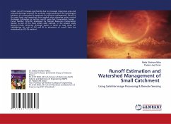
Urban run-off increases significantly due to increased impervious area and reduced drainage network. An accurate understanding of the hydrological behavior of a watershed is important for effective management. Runoff is the most basic and important data needed when planning water control strategies. Estimation of surface runoff using Soil Conservation Service - Curve Number (SCS-CN) developed by Natural Resources Conservation Service ,is one of the most widely used method. In the present study Banaras Hindu University drainage system is taken as case study for highlighting the role of GIS and RS in estimation of runoff from the watershed by SCS-CN method.
Bitte wählen Sie Ihr Anliegen aus.
Rechnungen
Retourenschein anfordern
Bestellstatus
Storno

