SANKURU PROVINCE
ESPACE GRAND-KASAI ATTIC
Versandkostenfrei!
Versandfertig in 6-10 Tagen
45,99 €
inkl. MwSt.

PAYBACK Punkte
23 °P sammeln!
As can be seen from the maps and data contained in several tables, the province of Sankuru lies at the heart of the Democratic Republic of Congo and is bordered by seven other provinces of the country: Kasaï, Kasaï-Central, Kasaï-Oriental, Lomami, Maniema, Tshopo and Tshuapa. It is the tenth-largest of the twenty-six provinces of the Democratic Republic of Congo, and the largest of the five provinces of the Grand Kasaï area. Administratively, Sankuru province comprises six territories, forty-three sectors and four hundred and eighteen groupings. Its hydrographic network is made up of many ...
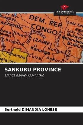
As can be seen from the maps and data contained in several tables, the province of Sankuru lies at the heart of the Democratic Republic of Congo and is bordered by seven other provinces of the country: Kasaï, Kasaï-Central, Kasaï-Oriental, Lomami, Maniema, Tshopo and Tshuapa. It is the tenth-largest of the twenty-six provinces of the Democratic Republic of Congo, and the largest of the five provinces of the Grand Kasaï area. Administratively, Sankuru province comprises six territories, forty-three sectors and four hundred and eighteen groupings. Its hydrographic network is made up of many fish-filled rivers, including the Lomami, Sankuru, Lokenye, Lomela and Lubefu, which are partially navigable and have a number of port infrastructures, most of which were built during the colonial period.


