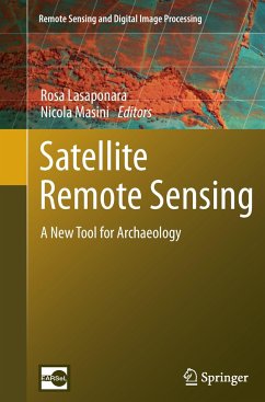
This book provides a state-of-the art overview of satellite archaeology and it is an invaluable volume for archaeologists, scientists, and managers interested in using satellite Earth Observation (EO) to improve the traditional approach for archaeological investigation, protection and management of Cultural Heritage.
The recent increasing development of EO techniques and the tremendous advances in Information and Communication Technologies (ICT) have resulted primarily in Cultural Heritage applications. The book focuses on new challenging prospects for the use of EO in archaeology not only for probing the subsurface to unveil sites and artifacts, but also for the management and valorization as well as for the monitoring and preservation of cultural resources. The book provides a first-class understanding of this revolutionary scenario which was unthinkable several years ago.
The book offers: (i) an excellent collection of outstanding articles focusing on satellite data processing, analysis and interpretation for archaeological applications, (ii) impressive case studies, (iii) striking examples of the high potential of the integration of multi-temporal, multi-scale, multi-sensors techniques.
Each chapter is composed as an authoritative contribution to help the reader grasp the value of its content. The authors are renowned experts from the international scientific community.
Audience: This book will be of interest to scientists in remote sensing applied to archeology, geoarcheology, paleo-environment, paleo-climate and cultural heritage.
From the reviews:
"It provides both a good basis for analysis as well as several test cases illustrating the use of remote sensing techniques for archaeology. The book begins with an excellent introduction to remote sensing techniques suitable for undergraduate or graduate instruction. ... The book is well written and organized. The illustrations, important for a book on remote sensing, are of high quality and many are in color. ... provides a blueprint for future archaeologists seeking to make the most of remote sensing." (Tom G. Farr, IEEE Geoscience and Remote Sensing Newsletter, Issue 164, September, 2012)
"This book is divided into three sections and has a mix of chapters split between methodology and case studies ... . The case studies are generally interesting with examples of the combination of techniques together with various issues caused by data availability, sensor variability, etc. ... Overall, it is a useful volume ... of more value to those interested in the technical aspects of processing and using the data ... ." (Simon Crutchley, International Journal of Remote Sensing, Vol. 34 (2), January, 2013)
"I found this book very practical and it has significant advantages over other archaeological remote sensing books in that it provides methodological details ... that I think many students of archaeological remote sensing would appreciate. ... there are not many books like this in archaeology, as I found the details covered on the analytical methods valuable, particularly for students. I do highly recommend this volume for those interested in learning about how satellite remote sensing data and techniques can be applied to archaeological problems." (Mark Altaweel, International Journal of Applied Earth Observation and Geoinformation, 2012)

