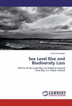
Global climate change is causing the levels of the oceans and seas to rise. Even small increases in sea level can flood huge areas of land, causing environmental and economic havoc. Coastal lands support a rich variety of biodiversity in the low-lying habitats around the shore. These are being forced to move landward and squeezed into increasingly smaller spaces. The use of state-of-the-art high-resolution topographic data and powerful modelling with GIS technology facilitates visualisation of scenarios of future habitat loss. Pinpointing the location and identity of habitats at risk is the first essential step in the process of planning their protection and conservation. The Clew Bay area on the west coast of Ireland is home to a fantastic array of natural communities and has been designated a Special Area of Conservation under EU law. This study, which pilots the methodology for an Irish coastal area, presents the scenarios for habitat inundation by the sea up to the year 2100 and beyond. The methodology and findings will be of great interest to GIS professionals in the environmental sphere and to ecologists and economists interested in planning coastal conservation and defence.
Hinweis: Dieser Artikel kann nur an eine deutsche Lieferadresse ausgeliefert werden.
Hinweis: Dieser Artikel kann nur an eine deutsche Lieferadresse ausgeliefert werden.

