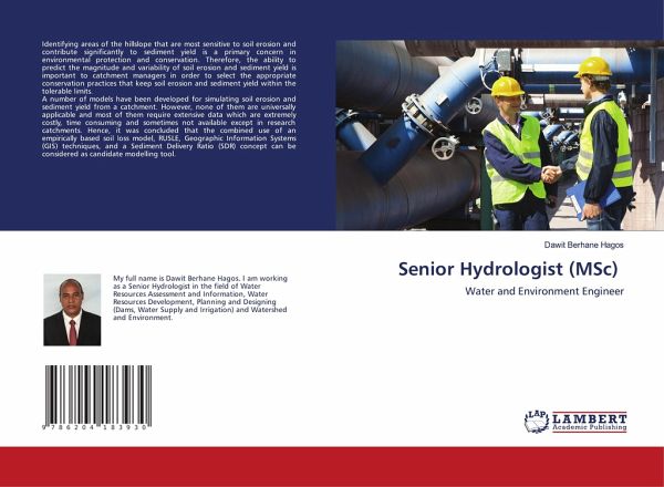
Senior Hydrologist (MSc)
Water and Environment Engineer
Versandkostenfrei!
Versandfertig in 6-10 Tagen
27,99 €
inkl. MwSt.

PAYBACK Punkte
14 °P sammeln!
Identifying areas of the hillslope that are most sensitive to soil erosion and contribute significantly to sediment yield is a primary concern in environmental protection and conservation. Therefore, the ability to predict the magnitude and variability of soil erosion and sediment yield is important to catchment managers in order to select the appropriate conservation practices that keep soil erosion and sediment yield within the tolerable limits. A number of models have been developed for simulating soil erosion and sediment yield from a catchment. However, none of them are universally applic...
Identifying areas of the hillslope that are most sensitive to soil erosion and contribute significantly to sediment yield is a primary concern in environmental protection and conservation. Therefore, the ability to predict the magnitude and variability of soil erosion and sediment yield is important to catchment managers in order to select the appropriate conservation practices that keep soil erosion and sediment yield within the tolerable limits. A number of models have been developed for simulating soil erosion and sediment yield from a catchment. However, none of them are universally applicable and most of them require extensive data which are extremely costly, time consuming and sometimes not available except in research catchments. Hence, it was concluded that the combined use of an empirically based soil loss model, RUSLE, Geographic Information Systems (GIS) techniques, and a Sediment Delivery Ratio (SDR) concept can be considered as candidate modelling tool.


![The Measurements of the Machine Elements [Questions and model answers] Cover The Measurements of the Machine Elements [Questions and model answers]](https://bilder.buecher.de/produkte/62/62705/62705828n.jpg)
