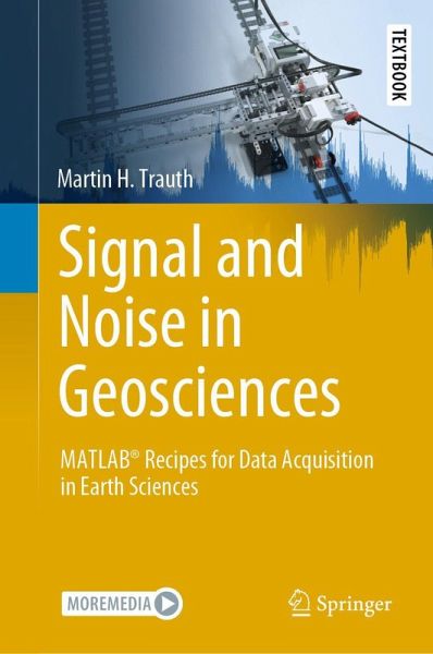
Signal and Noise in Geosciences
MATLAB® Recipes for Data Acquisition in Earth Sciences
Versandkostenfrei!
Versandfertig in 1-2 Wochen
45,99 €
inkl. MwSt.
Weitere Ausgaben:

PAYBACK Punkte
23 °P sammeln!
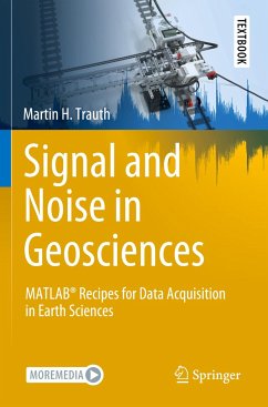
This textbook introduces methods of geoscientific data acquisition using MATLAB in combination with inexpensive data acquisition hardware such as sensors in smartphones, sensors that come with the LEGO MINDSTORMS set, webcams with stereo microphones, and affordable spectral and thermal cameras. The text includes 35 exercises in data acquisition, such as using a smartphone to acquire stereo images of rock specimens from which to calculate point clouds, using visible and near-infrared spectral cameras to classify the minerals in rocks, using thermal cameras to differentiate between different typ...
This textbook introduces methods of geoscientific data acquisition using MATLAB in combination with inexpensive data acquisition hardware such as sensors in smartphones, sensors that come with the LEGO MINDSTORMS set, webcams with stereo microphones, and affordable spectral and thermal cameras. The text includes 35 exercises in data acquisition, such as using a smartphone to acquire stereo images of rock specimens from which to calculate point clouds, using visible and near-infrared spectral cameras to classify the minerals in rocks, using thermal cameras to differentiate between different types of surface such as between soil and vegetation, localizing a sound source using travel time differences between pairs of microphones to localize a sound source, quantifying the total harmonic distortion and signal-to-noise ratio of acoustic and elastic signals, acquiring and streaming meteorological data using application programming interfaces, wireless networks, and internet of things platforms, determining the spatial resolution of ultrasonic and optical sensors, and detecting magnetic anomalies using a smartphone magnetometer mounted on a LEGO MINDSTORMS scanner. The book's electronic supplementary material (available online through Springer Link) contains recipes that include all the MATLAB commands featured in the book, the example data, the LEGO construction plans, photos and videos of the measurement procedures.


