Simulation Method for the Development of Multi-Beam Echo Sounder
Versandkostenfrei!
Versandfertig in 6-10 Tagen
27,99 €
inkl. MwSt.

PAYBACK Punkte
14 °P sammeln!
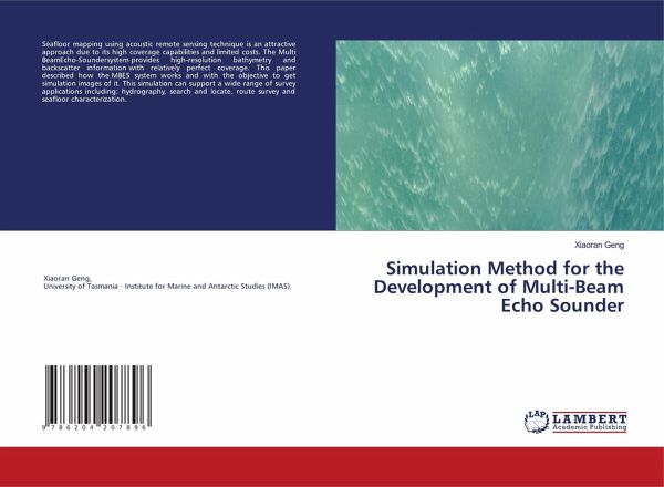
Seafloor mapping using acoustic remote sensing technique is an attractive approach due to its high coverage capabilities and limited costs. The Multi BeamEcho-Soundersystem provides high-resolution bathymetry and backscatter information with relatively perfect coverage. This paper described how the MBES system works and with the objective to get simulation images of it. This simulation can support a wide range of survey applications including: hydrography, search and locate, route survey and seafloor characterization.


