Snake Range
Versandkostenfrei!
Versandfertig in 6-10 Tagen
19,99 €
inkl. MwSt.

PAYBACK Punkte
10 °P sammeln!
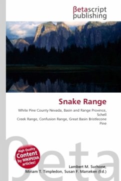
High Quality Content by WIKIPEDIA articles! The Snake Range is a line of high mountains in eastern White Pine County, in east-central Nevada in the western United States. Typical of other ranges in the Basin and Range Province, it runs in a north-south direction, in this case for approximately 60 miles (97 km). To the west is Spring Valley and the Schell Creek Range, while to the east is the border with Utah, Snake Valley, and the Confusion Range. In 1986 this southern section of the range was selected as the location of the Great Basin National Park, recognizing both the unique geologic featu...
High Quality Content by WIKIPEDIA articles! The Snake Range is a line of high mountains in eastern White Pine County, in east-central Nevada in the western United States. Typical of other ranges in the Basin and Range Province, it runs in a north-south direction, in this case for approximately 60 miles (97 km). To the west is Spring Valley and the Schell Creek Range, while to the east is the border with Utah, Snake Valley, and the Confusion Range. In 1986 this southern section of the range was selected as the location of the Great Basin National Park, recognizing both the unique geologic features of these mountains as well as their representation of the region as a whole. From Wheeler Peak the range begins to drop, reaching 7,154 feet (2,181 m) at Sacramento Pass, just 11 miles (18 km) to the north. Here is where U.S. Route 6/U.S. Route 50, the "Loneliest Highway in America", crosses the range, and provides the principal means of access to this area of eastern Nevada.


