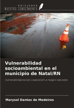
Social and environmental vulnerability in the municipality of Natal/RN
Social vulnerability and exposure to natural risks
Versandkostenfrei!
Versandfertig in 6-10 Tagen
43,99 €
inkl. MwSt.

PAYBACK Punkte
22 °P sammeln!
The city of Natal/RN has risk areas due to the occupation of spaces that have legal and/or physical-natural limitations, as well as a lack of urban organization, increasing the vulnerability of the population living there. The aim of the research was to map areas of social vulnerability and natural hazards in Natal, taking into account the interrelationships between social vulnerabilities and differentiated exposure to natural hazards. According to the methodology used to draw up the Environmental Vulnerability Index, the classification of risk areas and their degree of vulnerability was based...
The city of Natal/RN has risk areas due to the occupation of spaces that have legal and/or physical-natural limitations, as well as a lack of urban organization, increasing the vulnerability of the population living there. The aim of the research was to map areas of social vulnerability and natural hazards in Natal, taking into account the interrelationships between social vulnerabilities and differentiated exposure to natural hazards. According to the methodology used to draw up the Environmental Vulnerability Index, the classification of risk areas and their degree of vulnerability was based on morphodynamic processes; and to organize the Social Vulnerability Index, a multifactorial analysis was carried out using data that denoted social disadvantage at the census sector level. Then, by overlaying these two indices, the Socio-environmental Vulnerability Index was created. This research spatialized risk areas, indicating the degree of vulnerability of individuals potentially exposed to natural hazards.


