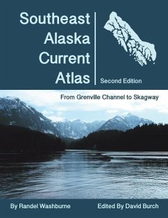
The charts in this atlas show scaled arrows marking current speeds and directions at each of the official stations at sequential hours. Use slack times and maximum current speeds at Wrangell Narrows from the NOAA Tidal Current Tables to select the appropriate chart for specific dates and times. An ideal resource for planning routes throughout Southeast Alaskan waters using sequential charts to predict how the current flow over large regions changes with time. For use underway or when planning passages in the future.
Hinweis: Dieser Artikel kann nur an eine deutsche Lieferadresse ausgeliefert werden.
Hinweis: Dieser Artikel kann nur an eine deutsche Lieferadresse ausgeliefert werden.


![The Currents in the Gulf of St. Lawrence [microform]: From Investigations of the Tidal and Current Survey in the Seasons of 1894, 1895, 1896, 1906, 19 The Currents in the Gulf of St. Lawrence [microform]: From Investigations of the Tidal and Current Survey in the Seasons of 1894, 1895, 1896, 1906, 19](https://bilder.buecher.de/produkte/65/65601/65601604m.jpg)


![The Palæochemistry of the Ocean in Relation to Animal and Vegetable Protoplasm [microform] The Palæochemistry of the Ocean in Relation to Animal and Vegetable Protoplasm [microform]](https://bilder.buecher.de/produkte/66/66190/66190867m.jpg)
