Spatial Correlation of Heavy Metals in a Soil-rice System
Versandkostenfrei!
Versandfertig in 6-10 Tagen
59,99 €
inkl. MwSt.

PAYBACK Punkte
30 °P sammeln!
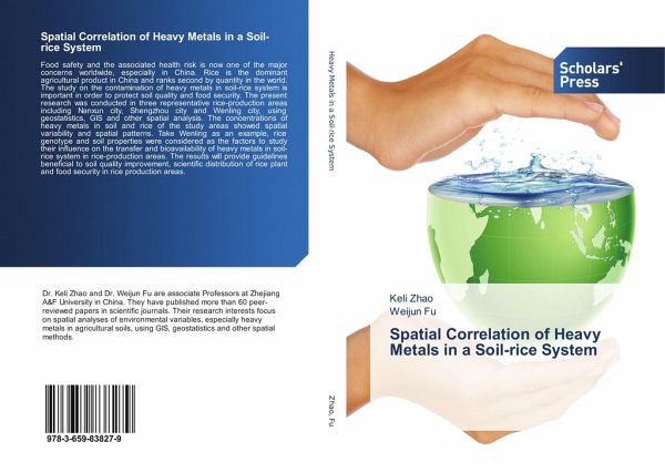
Food safety and the associated health risk is now one of the major concerns worldwide, especially in China. Rice is the dominant agricultural product in China and ranks second by quantity in the world. The study on the contamination of heavy metals in soil-rice system is important in order to protect soil quality and food security. The present research was conducted in three representative rice-production areas including Nanxun city, Shengzhou city and Wenling city, using geostatistics, GIS and other spatial analysis. The concentrations of heavy metals in soil and rice of the study areas showe...
Food safety and the associated health risk is now one of the major concerns worldwide, especially in China. Rice is the dominant agricultural product in China and ranks second by quantity in the world. The study on the contamination of heavy metals in soil-rice system is important in order to protect soil quality and food security. The present research was conducted in three representative rice-production areas including Nanxun city, Shengzhou city and Wenling city, using geostatistics, GIS and other spatial analysis. The concentrations of heavy metals in soil and rice of the study areas showed spatial variability and spatial patterns. Take Wenling as an example, rice genotype and soil properties were considered as the factors to study their influence on the transfer and bioavailability of heavy metals in soil-rice system in rice-production areas. The results will provide guidelines beneficial to soil quality improvement, scientific distribution of rice plant and food security inrice production areas.


