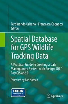
This book guides animal ecologists, biologists and wildlife and data managers through a step-by-step procedure to build their own advanced software platforms to manage and process wildlife tracking data. This unique, problem-solving-oriented guide focuses on how to extract the most from GPS animal tracking data, while preventing error propagation and optimizing analysis performance. Based on the open source PostgreSQL/PostGIS spatial database, the software platform will allow researchers and managers to integrate and harmonize GPS tracking data together with animal characteristics, environmental data sets, including remote sensing image time series, and other bio-logged data, such as acceleration data. Moreover, the book shows how the powerful R statistical environment can be integrated into the software platform, either connecting the database with R, or embedding the same tools in the database through the PostgreSQL extension Pl/R. The client/server architecture allows users to remotely connect a number of software applications that can be used as a database front end, including GIS software and WebGIS. Each chapter offers a real-world data management and processing problem that is discussed in its biological context; solutions are proposed and exemplified through ad hoc SQL code, progressively exploring the potential of spatial database functions applied to the respective wildlife tracking case. Finally, wildlife tracking management issues are discussed in the increasingly widespread framework of collaborative science and data sharing. GPS animal telemetry data from a real study, freely available online, are used to demonstrate the proposed examples. This book is also suitable for undergraduate and graduate students, if accompanied by the basics of databases.
Bitte wählen Sie Ihr Anliegen aus.
Rechnungen
Retourenschein anfordern
Bestellstatus
Storno


