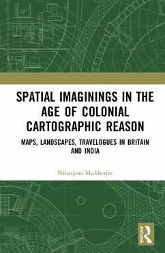
This volume explores how India as a geographical space was constructed by the British colonial regime in visual and material terms. It demonstrates the instrumentalisation of cultural artefacts such as landscape paintings, travel literature and cartography, as spatial practices overtly carrying scientific truth claims, to materially produce artificial spaces that reinforced power relations. It sheds light on the primary dominance of cartographic reason in the age of European Enlightenment which framed aesthetic and scientific modes of representation and imagination. The author cross-examines this imperial gaze as a visual perspective which bore the material inscriptions of a will to assert, possess and control. The distinguishing theme in this study is the production of India as a new geography sourced from Britain's own interaction with its rural outskirts and domination in its fringes. This book: Addresses the concept of "production of space" to study the formulation of a colonial geography which resulted in the birth of a new place, later a nation; Investigates a generative period in the formation of British India c. 1750-1850 as a colonial territory vis-à-vis its representation and reiteration in British maps, landscape paintings and travel writings; Brings Great Britain and British India together on one plane not only in terms of the physical geo-spaces but also in the excavation of critical domains by alluding to critics from both spaces; Seeks to understand the pictorial grammar that legitimised the expansive British imperial cartographic gaze as the dominant narrative which marginalised all other existing local ideas of space and inhabitation. Rethinking colonial constructions of modern India, this volume will be of immense interest to scholars and researchers of modern history, cultural geography, colonial studies, English literature, cultural studies, art, visual studies and area studies.
Bitte wählen Sie Ihr Anliegen aus.
Rechnungen
Retourenschein anfordern
Bestellstatus
Storno


