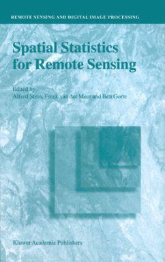
This book is a collection of papers on spatial statistics for remote sensing. The book emerges from a study day that was organized in 1996 at the International Institute for Aerospace Survey and Earth Sciences, ITC, in Enschede, The Netherlands. It was by several means a memorable event. The beautiful new building, according to a design by the famous modern Dutch architect Max van Huet was just opened, and this workshop was the first to take place there. Of course, much went wrong during the workshop, in particular as the newest electronic equipment regularly failed. But the workshop attrackted more than hundred attendants, and was generally well received. The results of the workshop have been published in Stein et al. (1998). The aim of the workshop was to address issues of spatial statistics for remote sensing. The ITC has a long history on collecting and analyzing satellite and other remote sensing data, but its involvement into spatial statistics is of a more recent date. Uncertainties in remote sensing images and the large amounts of data in many spectral bands are now considered to be of such an impact that it requires a separate approach from a statistical point of view. To quote from the justification of the study day, we read: Modern communication means such as remote sensing require an advanced use of collected data. Satellites collect data with different resolution on different spectral bands.
Hinweis: Dieser Artikel kann nur an eine deutsche Lieferadresse ausgeliefert werden.
Hinweis: Dieser Artikel kann nur an eine deutsche Lieferadresse ausgeliefert werden.
"...constitutes a nice synopsis of an extensive array of topics and ideas. ...as a reference source, it is definitely worth having access to, and it would be an appropriate addition for most research libraries. ...it does represent a contribution to the literature that individuals involved in remote sensing data analysis should like to have at their disposal, and so libraries should be encouraged to add it to their collections."
(Mathematical Geology, 35:1 (2003)
(Mathematical Geology, 35:1 (2003)

