45,99 €
inkl. MwSt.
Versandkostenfrei*
Versandfertig in über 4 Wochen
  • Broschiertes Buch

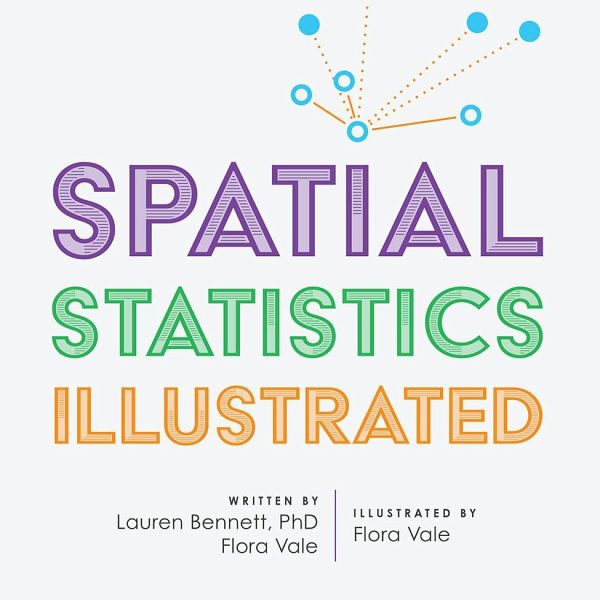
With approachable explanations and uncomplicated drawings, Spatial Statistics Illustrated gives readers an accessible understanding of some of the most widely used spatial statistics methods.

Produktbeschreibung
With approachable explanations and uncomplicated drawings, Spatial Statistics Illustrated gives readers an accessible understanding of some of the most widely used spatial statistics methods.
Hinweis: Dieser Artikel kann nur an eine deutsche Lieferadresse ausgeliefert werden.
Autorenporträt
Dr. Lauren Bennett leads the Spatial Analysis and Data Science product engineering team at Esri. In her role, she oversees the R&D of the ArcGIS geoprocessing framework, which includes spatial and spatiotemporal statistics, raster and multidimensional analysis, machine learning and big data analytics. Lauren is passionate about the power of spatial data science to make an impact on our world, from racial equity and social justice to public health to climate change. Lauren received a BA in Geography from McGill University, an MS in Geographic and Cartographic Science from George Mason University, and her PhD in Information Systems and Technology from Claremont Graduate University.