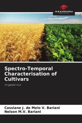
Spectro-Temporal Characterisation of Cultivars
Irrigated rice
Versandkostenfrei!
Versandfertig in 6-10 Tagen
27,99 €
inkl. MwSt.

PAYBACK Punkte
14 °P sammeln!
Monitoring spectral characteristics over time using satellite images is scientifically recognised as providing information that can be associated with the type of cultivar or variety, vigour, density, health, nutrition and phenological stages, by conveniently using the electromagnetic information reflected by the earth's surface, using, for example, so-called vegetation indices. Knowledge of the spectral signature of different irrigated rice cultivars is an important tool for monitoring and inspecting agricultural crops, as it can facilitate the work of public certification bodies and grain re...
Monitoring spectral characteristics over time using satellite images is scientifically recognised as providing information that can be associated with the type of cultivar or variety, vigour, density, health, nutrition and phenological stages, by conveniently using the electromagnetic information reflected by the earth's surface, using, for example, so-called vegetation indices. Knowledge of the spectral signature of different irrigated rice cultivars is an important tool for monitoring and inspecting agricultural crops, as it can facilitate the work of public certification bodies and grain receiving industries. This study monitored the cultivars IRGA 409, IRGA 424, IRGA 426, IRGA 428, IRGA 429, IRGA 430, PUITÁ and GURI. By associating field data and NDVI time profiles throughout the crop cycle, the spectral characteristics of the cultivars were described. The spectral behaviour of the different cultivars can be differentiated, but it is clear that this depends critically on the quality of the data and the processing.


