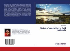
This work has been carried out so far on wetlands status, extent, change detection and biodiversity and socioeconomic perspective. Kachchh being the gateway for migratory waterfowls, an attempt has been made to map the wetlands (inland wetlands) of 10 ha and above and identifying the changes in extent under this research study. Eleven water bodies are selected for the present study of which five waterbodies of western kachchh are selected for intensive study. Out of eleven wetlands, 5 wetlands namely Karaghoga dam, Munjasar talav, Pachaso dam, Tapar dam and Tuna coast were studied for one year and other six wetlands namely Pragsar lake, Chhari dhandh, Luna dhandh, Godhantad dam, Changadasr talav and Jakhau intertidal and adjoining area were selected for intensive study - two years. Mapping exercise has been undertaken for this study for the year of 1964-85, 1997 and data of 2007. For the present study in-depth mapping and area calculation were carried out by using ERDAS IMAGINE (9.3) and Arc GIS (9.3) software's.
Bitte wählen Sie Ihr Anliegen aus.
Rechnungen
Retourenschein anfordern
Bestellstatus
Storno

